


Satellite Images & Navigation
항공우주산업 소개
Korean Aerospace Industry- Overview
- Main Aircraft Programs
- Main Space Programs
POINT
09
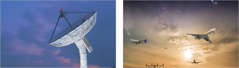
Satellite Images & Navigation

Improving public safety and life quality
Utilization of Satellite Images
Satellite images are utilized in various fields including national land management, disaster monitoring, maritime resources management, agriculture and forestry, weather observation, and national security and defense
The world satellite image market was worth around USD 1.7 billion in 2015 and is expected to grow up to USD 3.0 billion in 2025
Satellite Navigation
GPS is used in various fields such as vehicle, aviation and marine navigation, rescue, leisure activities, electronic goods, security and defense sectors.
AS ICAO aims to have SBAS (Satellite Based Augmentation System) in service from 2025 as the international standard, Korea plans to develop Korean variant of SBAS named “KASS” and expects to have it in service from 2022.
![]()
TEL : +82-2-761-1101 | FAX : +82-2-761-1175
COPYRIGHT © 2017
Korea Aerospace Industries Association
ALL RIGHTS RESERVED.
admin